
NASA Laser Reveals Miles of Greenland Ice Loss
And what if you could compare that view with data from one, two, even 20 years ago?

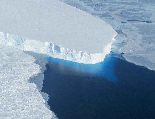
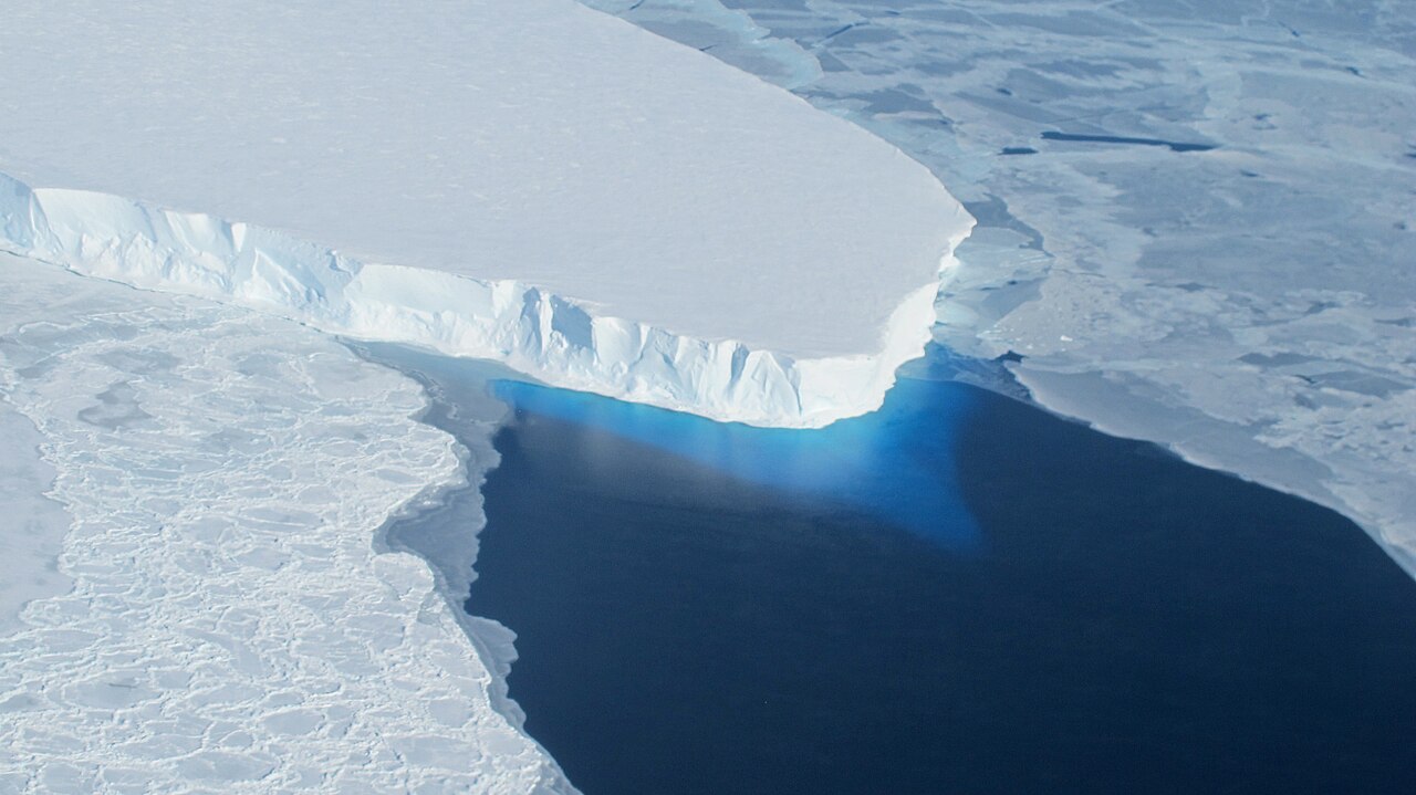
NASA airborne campaigns like Operation IceBridge have been measuring Greenland and Antarctica’s glaciers and ice sheets with a range of instruments for years, including radar, lasers, and high resolution cameras, in order to understand just how our planet’s ice is changing.
This video shows in unprecedented detail how Greenland’s massive Helheim Glacier has changed over 20 years, using data from instruments like the Airborne Topographic Mapper laser altimeter and the Digital Mapping System cameras, which fly every year on IceBridge missions, and satellite data form the Canadian Space Agency’s Radarsat Satellite. IceBridge plans to return to Helheim again in 2018 to carry on its annual survey.
Related
Operation Icebridge Studies Changes in Greenland’s Helheim Glacier https://svs.gsfc.nasa.gov/4566
Support Earth Climate

About the Author: EARTH CLIMATE

Newsletter
Recent Comments
- America’s Climate Free Fall – CounterPunch.org – Theothernews on Climate Free Fall: Scientists Warn of Hidden Economic Crisis, Earth’s Systems Become Dangerously Unstable
- Climate Researcher Levermann: "We Must Understand What Happens After Climate Systems Tip" | EarthClimate on Climate Free Fall: Scientists Warn of Hidden Economic Crisis, Earth’s Systems Become Dangerously Unstable
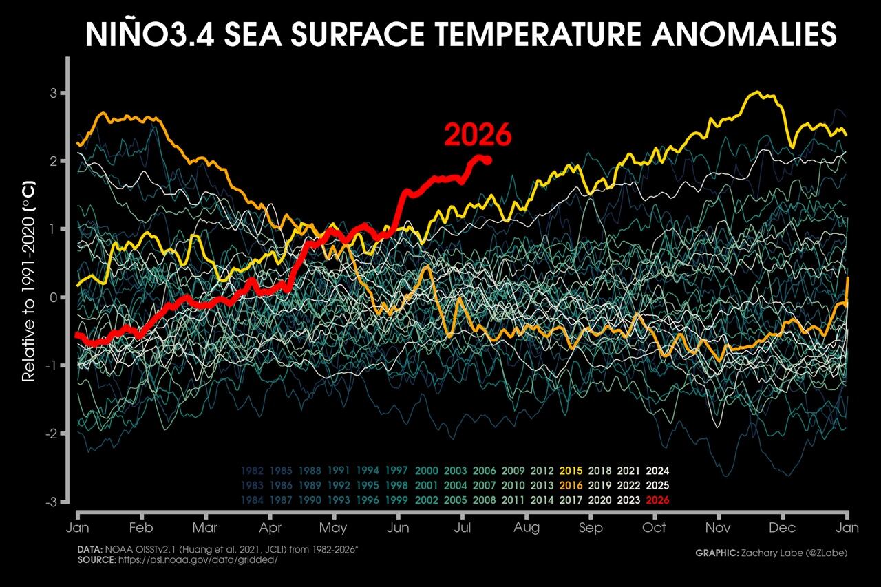
- Extreme Temperature Diary- Saturday July 18th, 2026/Main Topic: The “Super” El Niño of 2026: Why 2027 Will Be a Year That Is Off the Chain Hot – Guy On Climate on The “Super” El Niño of 2026: Why 2027 Will Be the Year the World Watches
Support
We create visually compelling, accessible science content that transforms complex research into engaging videos and articles, helping millions understand the discoveries shaping our world. [Paypal | Patreon]