
NASA: Four Decades of Sea Ice From Space
NASA: One of the most visible signs of climate change in recent years was not even visible at all until a few decades ago.

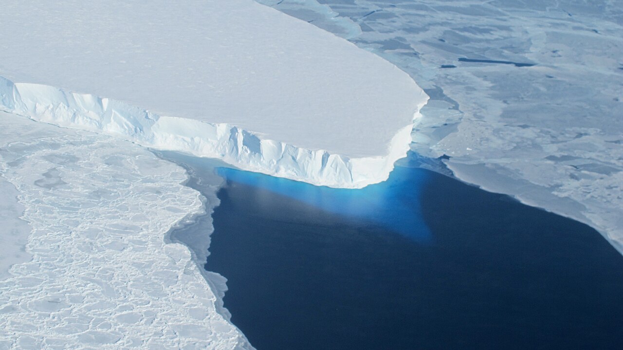
The sea ice cap that covers the Arctic Ocean has been changing dramatically, especially in the last 15 years. Its ice is thinner and more vulnerable – and at its summer minimum now covers more than 1 million fewer square miles than in the late 1970s. That’s enough missing ice to cover Alaska, California and Texas.
A key part of the story of how the world was able to witness and document this change centers on meticulous work over decades by a small group of scientists at NASA’s Goddard Space Flight Center in Greenbelt, Maryland. Late nights in mainframe rooms, double- and triple-checking computer printouts, processing and re-processing data – until the first-ever accurate atlases of the world’s sea ice were published.
“Sea ice was one of the least understood variables in the Earth system,” said Claire Parkinson, a climate change senior scientist at NASA Goddard. “Thanks to satellites, now sea ice is one of the best studied components of the planet.”
Support Earth Climate
About the Author: EARTH CLIMATE

Newsletter
Recent Comments
- America’s Climate Free Fall – CounterPunch.org – Theothernews on Climate Free Fall: Scientists Warn of Hidden Economic Crisis, Earth’s Systems Become Dangerously Unstable
- Climate Researcher Levermann: "We Must Understand What Happens After Climate Systems Tip" | EarthClimate on Climate Free Fall: Scientists Warn of Hidden Economic Crisis, Earth’s Systems Become Dangerously Unstable
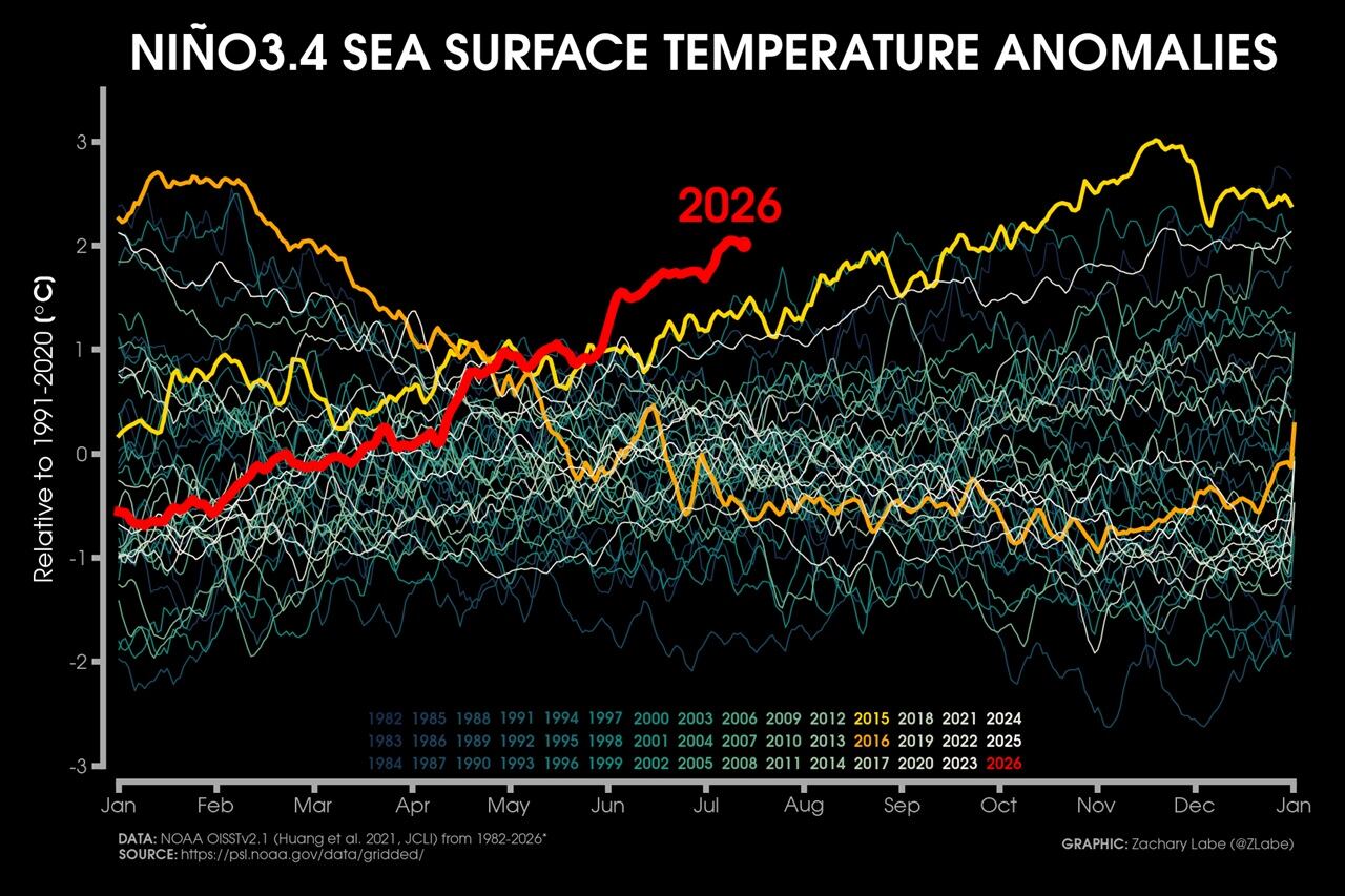
- Extreme Temperature Diary- Saturday July 18th, 2026/Main Topic: The “Super” El Niño of 2026: Why 2027 Will Be a Year That Is Off the Chain Hot – Guy On Climate on The “Super” El Niño of 2026: Why 2027 Will Be the Year the World Watches
Support
We create visually compelling, accessible science content that transforms complex research into engaging videos and articles, helping millions understand the discoveries shaping our world. [Paypal | Patreon]